
Introduction to QGIS
QGIS (Quantum GIS) is a powerful, open-source Geographic Information System (GIS) application that allows users to visualize, analyze, interpret, and understand spatial data with ease. With its user-friendly interface and extensive set of features, QGIS has become the go-to choice for professionals, educators, and beginners interested in mapping and spatial analysis.
Whether you are a student, a business owner, or a GIS specialist looking for a cost-effective mapping solution, QGIS offers the flexibility and power you need to bring your spatial data to life.
What Makes QGIS Stand Out?
- Open-Source & Free: QGIS is completely free to download and use, making it accessible for everyone.
- Cross-Platform Compatibility: QGIS runs smoothly on Windows, macOS, and Linux systems.
- Extensive Plugin Library: You can extend QGIS functionality with hundreds of plugins developed by the community.
- Wide Range of Data Support: QGIS supports numerous file formats, including shapefiles, GeoTIFF, KML, and PostGIS databases.
- Active Community: With a vast global user base, you will always find tutorials, forums, and expert advice at your fingertips.
Key Features of QGIS
- Data Visualization: Create interactive maps with custom symbology, labels, and layers.
- Spatial Analysis: Perform buffer, overlay, and proximity analysis with powerful geoprocessing tools.
- Cartography: Design professional-quality maps with advanced layout features.
- Georeferencing: Align unreferenced images with spatial data for more accurate mapping.
- Field Data Collection: Integrate with mobile apps for real-time, on-the-go data gathering.
How to Get Started with QGIS
- Download QGIS: Visit the official QGIS website and select the version compatible with your operating system.
- Install QGIS: Follow the installation instructions provided on the website.
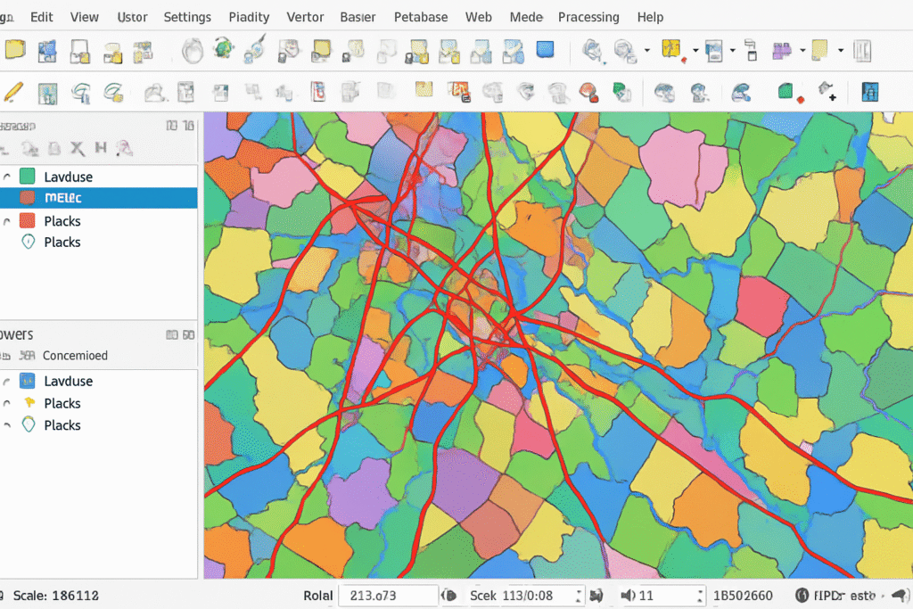
- Explore the Interface: Familiarize yourself with toolbars, menus, and panels. The user-friendly layout makes navigation simple.
- Add Your First Layer: Import shapefiles or raster images to begin your mapping project.
- Customize Your Map: Style your map using colors, patterns, and labels for better visualization and presentation.
Top Use Cases for QGIS
- Urban Planning: Analyze land use, transportation networks, and development patterns.
- Environmental Monitoring: Track changes in ecosystems, water quality, and wildlife habitats.
- Disaster Management: Map flood zones, fire risk areas, and evacuation routes.
- Business Intelligence: Locate optimal sites for new stores, analyze customer distribution, and visualize sales data.
SEO & Adsense Friendly Tips for QGIS Blogs
When writing about QGIS, focus on:
- Using targeted keywords like “QGIS tutorials for beginners,” “free GIS software,” or “how to make maps with QGIS.”
- Incorporating headings (H1, H2, H3) and bullet points for readability.
- Embedding images of QGIS in action or step-by-step guides for visual engagement.
- Highlighting practical use cases to attract a wider audience.
- Ensuring content answers common questions like “What is QGIS?” or “How to install QGIS?” for better search rankings.
Conclusion
QGIS is an essential tool for anyone interested in GIS and spatial analysis. Its free and open-source nature, combined with powerful features, makes it ideal for learners and professionals alike. Start your journey in mapping and spatial data with QGIS today and unlock endless possibilities for data-driven insight. For more tips, tricks, and tutorials on QGIS, keep following our blog!